Bottomland Drone Services

Full-service drone solutions for deer and pet recovery, herd analysis, and real estate photography - serving North Carolina 24/7/365.

Contact Us

Our Services

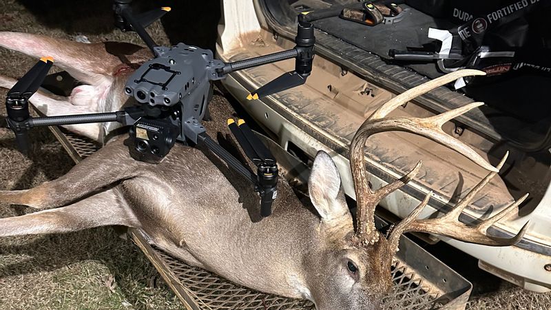
Deer Recovery

Thermal scanning of the entire forest floor - day or night - to locate your harvest using the DJI Matrice 30T

Learn More

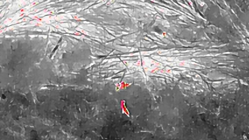
Deer Herd Analysis

Accurate head counts and true buck-to-doe ratios for your property with thermal flyover mapping.

Learn More

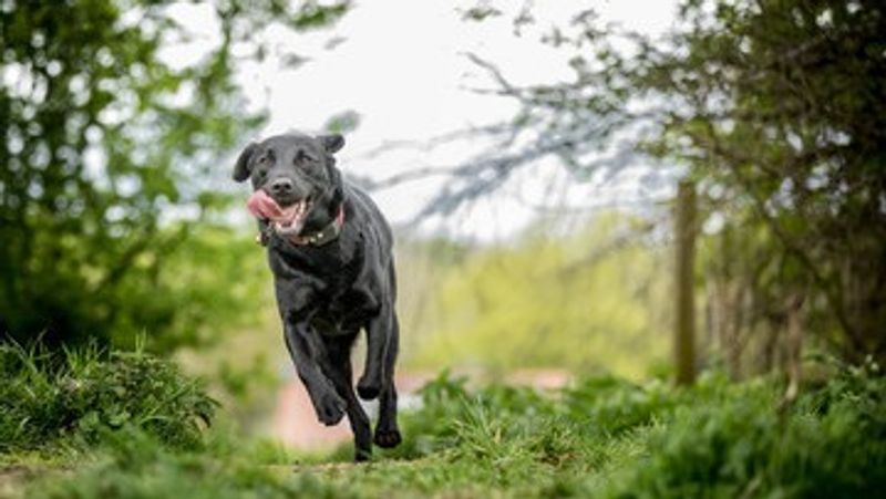
Pet & Cattle Recovery

Cows got out? Dog on the loose? We deploy fast and find them using thermal imaging from the air.

Learn More

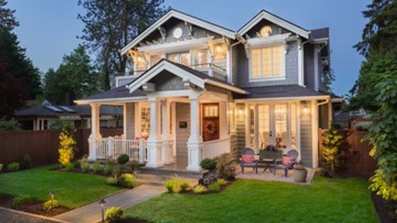
Real Estate Photography

Add the "WOW" factor to any listing with stunning aerial drone photos and video that turn heads.

Learn More

Our Story


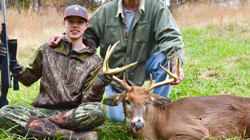
As an avid hunter and real estate professional, I started Bottomland Drone Services to fill a need I've seen countless times. My true passion is hunting - and I want to help people locate the deer they've harvested.

I know what it's like to search for hours and come up short. With thermal drone technology, the odds of finding your deer increase exponentially. As hunters, we owe it to the animal.

"Seek and ye shall find..." Matthew 7:7

Lose blood? Leave it alone. Call the drone.
Available 24/7/365 - Piedmont to Western North Carolina

Contact Us